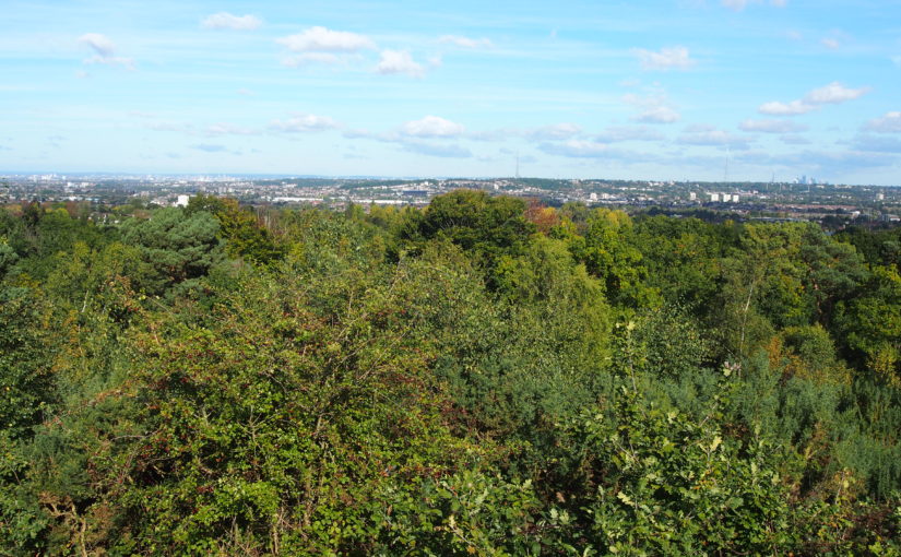
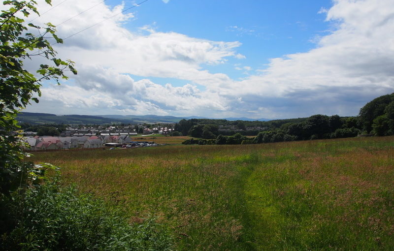
Jersey Landscape Sensitivity Assessment

For Government of Jersey, 2020

Landscape Sensitivity is a measure of the resilience of a landscape to withstand change arising from development without undue negative effects on the landscape or views.

The methodology for the Jersey Landscape Sensitivity Assessment was in line with the current best practice on landscape sensitivity assessment and also takes into account the particular circumstances, and the landscape and seascape context, of Jersey. The outputs of the Assessment were used by the Government of Jersey to help identify the most appropriate sites for new housing in the Island Plan Review. A list of study areas was provided by the client, including key villages and parts of the island’s urban fringes.

The project used a two-stage methodology. The first stage was a desk-based assessment (confirmed in the field) to identify Local Landscape Units (LLUs) within each study area, primarily based on landscape character. Those LLUs which exhibited sensitive special qualities identified in the Landscape Character Assessment, or which had other heritage or nature conservation sensitivities, were not assessed further.

The LLUs which were considered to have some potential to accommodate residential development without significant adverse landscape or visual impacts were assessed in more detail. For these LLUs, field-based analysis was undertaken, and tabulated sensitivity ratings provided on a 5-point scale from low to high. Recommendations for mitigation and enhancement measures were also provided for each study area, reflecting local landscape and settlement character.

North York Moors National Park Landscape Character Assessment Update

For North York Moors National Park Authority, 2021

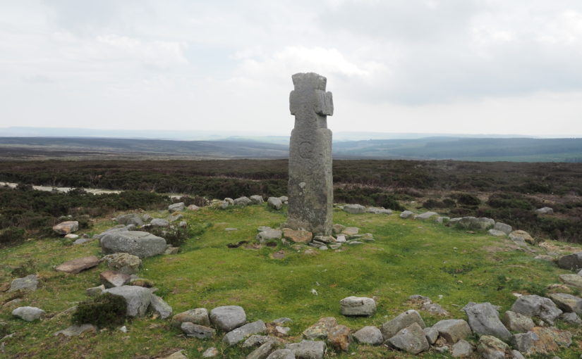
The North York Moors National Park contains an outstanding diversity of landscapes and seascapes. Its expansive heather moorland, spectacular coastline, intimate dales, picturesque settlements, rich woodlands, varied farmlands and magnificent views are very highly valued by residents and visitors.

We undertook a comprehensive review of the 2003 Landscape Character Assessment to bring it up to date and able to address today’s challenges. This included an emphasis on measures to pro-actively address the ongoing climate and biodiversity crises whilst enhancing landscape character. We incorporated current best-practice relating to Seascape Character Assessment, and identified new landscape Types and Areas along the coast. We integrated new concepts such as natural capital and ecosystem services into the Landscape Character Assessment, along with new information on remoteness, tranquillity and dark skies. The updated Landscape Character Assessment now provides comprehensive information on the natural, cultural and perceptual qualities of landscape within the National Park, and on the vital role played by its landscape and seascape setting.

North York Moors Settlement Sensitivity Studies

For North York Moors National Park Authority, 2021

This project was undertaken in conjunction with the North York Moors Landscape Character Assessment Update. Its purpose was to identify the key sensitivities associated with each of the 16 ‘Larger Villages’ within the National Park, plus the town of Helmsley. It is in these places where small-scale development (such as affordable housing schemes) is most likely to be located.

A settlement’s character and ‘sense of place’ can be eroded by development which does not respect its form, landscape setting, distinctive features or views. Therefore by identifying and protecting the sensitive features of each settlement, future development can be incorporated in a way which does not damage the settlement’s unique character or sense of place, and will also be sensitive to the landscape in which the settlement is situated.

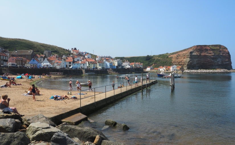
The settlements studied include towns and villages with coastal, farmland, moorland, historic parkland and woodland settings. Desk studies and fieldwork were undertaken to understand settlements’ landscape context, form, character, approaches and gateways, edges, and visual relationship with their surrounding landscape.

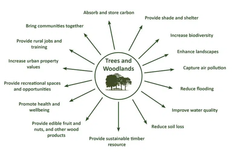
Right Tree Right Place: A Landscape Approach

Fiona Fyfe Associates with Dominica Williamson for Devon County Council

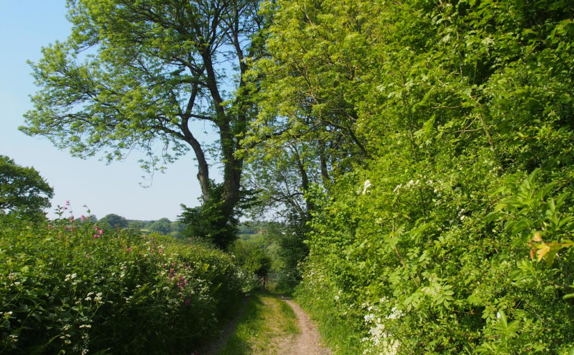
This ongoing project provides guidance for those wishing to plant trees in Devon. Devon County Council is keen to meet sustainability targets and enhance biodiversity through tree planting, but also needs to ensure that the newly-planted trees respect and enhance landscape character, and are not detrimental to existing ecological and heritage assets. This publication takes key messages relating to tree planting and landscape character from a wide variety of sources, including the Forestry Commission, Woodland Trust, Devon Environment Viewer and the Devon-wide Landscape Character Assessment. It provides guidance to ensure that the right tree is planted in the right place, and that local variations in landscape character are sustained and enhanced through appropriate tree planting.

Summary of Trees and Woodland benifits

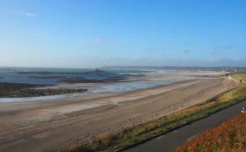
Jersey Coastal National Park Boundary Review

Fiona Fyfe Associates with Karin Taylor and Countryscape for Government of Jersey (2020)

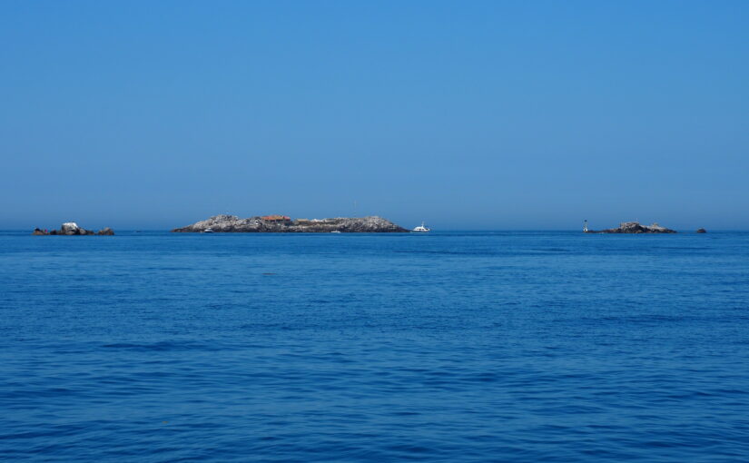
This innovative project helps the Government of Jersey achieve its ambition for a unique National Park which extends both inland and out to sea, encompassing terrestrial, intertidal and marine areas.

A project-specific methodology was developed based on the existing Natural England methodology for designating Protected Landscapes, but tailored for application in Jersey’s unique island environment. The criteria for inclusion within the Jersey Coastal National Park work equally well for land and marine areas.

In addition to extending the National Park offshore, the recommended Coastal National Park boundary also aims to ensure that the coastline and its inland and seaward setting are appropriately protected, and provides a clear, consistent and unambiguous boundary for the National Park. It also reflects the updated landscape and seascape typology provided in the Jersey Integrated Landscape and Seascape Character Assessment (Fiona Fyfe Associates 2020).

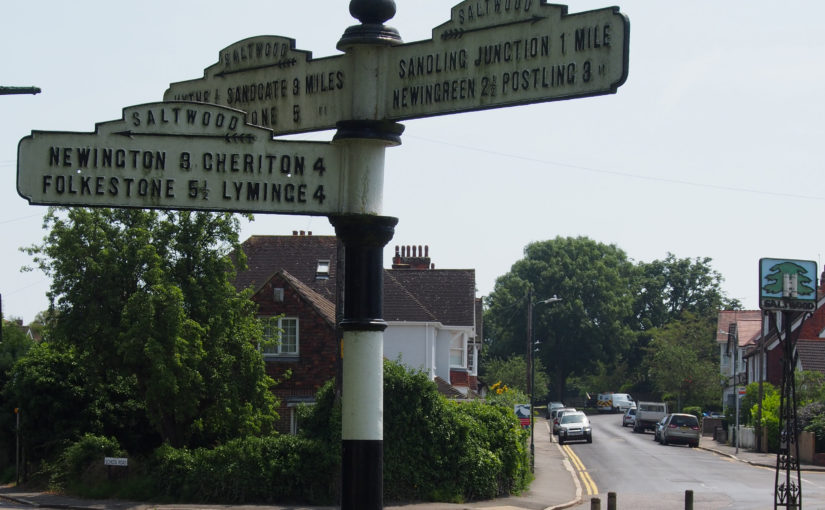
Kent Downs AONB Landscape Design Handbook Update

Fiona Fyfe Associates with Untitled Practice for Kent Downs AONB (2019)

This handbook provides practical advice and inspiration to promote landscape-sensitive design within the Kent Downs Area of Outstanding Natural Beauty (AONB). Given the designation of the area as AONB, it is vital that the characteristics of the Kent Downs landscape are understood, protected and enhanced in order that the evolving landscape retains its special character. The Landscape Design Handbook aims to ensure that any new development, land use or land management approach respects and enhances the Kent Downs’ unique sense of place. It sets out design principles and detailed design recommendations to promote good practice in landscape design across the AONB, to enhance the distinctive features of the landscape and to promote local variation in landscape character.

The updating of the Landscape Design Handbook is very timely given the unprecedented pressure for development both within the AONB and within its setting. Some of the pressure is from large-scale development, but small-scale development and change can also be damaging to local character unless it is undertaken sensitively. The Handbook addresses one-off and cumulative landscape changes, and is relevant to both development planning and landscape management projects.

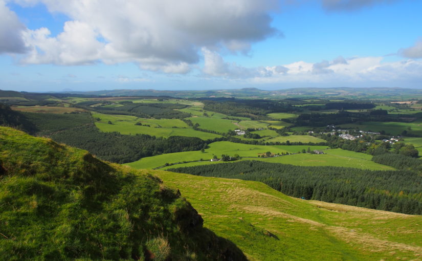
Review of South Ayrshire Local Landscape Areas

For South Ayrshire Council as subconsult to Carol Anderson Landscape Associates (2018)

Scottish Planning Policy recognises the value of locally-designated landscape areas, in order to: Safeguard and enhance their character and quality which is important or particularly valued locally or regionally; promote understanding and awareness of their distinctive character and special qualities; safeguard and promote important local settings for recreation and tourism, and afford them appropriate levels of protection in Local Plans.

Fiona Fyfe assisted Carol Anderson with the review of Local Landscape Areas for South Ayrshire, providing specialist expertise in community and stakeholder consultation, and in cultural/ historic landscapes. The study area contains numerous historic estates, including Culzean and Glen App, as well as the historic Turnberry golf resort, weaving villages, harbours, and sites associated with poet Robert Burns.

Wandle Vistas Project

For Living Wandle Landscape Partnership with Untitled Practice (2018)

This is a legacy project for the Living Wandle Landscape Partnership in south-west London. The project has an urban context, as the River Wandle rises near Croydon and meets the Thames at Wandsworth. This project used extensive community consultation to define what makes a ‘Wandle Vista’ and to identify ten key viewpoints which together tell the landscape story of the Wandle Valley. The project is closely aligned with the London Plan, London View Management Framework and All London Green Grid.

Working with volunteers is a key part of the project, and Fiona delivered training on landscape assessment techniques, historic map analysis and digital archive resources. Project outputs include a planning document for London Boroughs to take forward into their own Local and Neighbourhood Plans, and interpretation materials to inspire local people to understand and engage with the Wandle Valley landscape. Also included are a range of measures to enhance and raise awareness of the viewpoints which will contribute to the Living Wandle Legacy.

The Aberdeen Landscape Study

With Douglas Harman Landscape Planning, Carol Anderson Landscape Associates, Buchan Landscape Architecture and Countryscape (Ongoing)

Fiona is providing specialist input on landscape archaeology and cultural heritage to the team led by Douglas Harman Landscape Planning. Her research focusses on both designated and non-designated sites and landscapes within the study area, and enables them to be recognised when planning for the future. The Aberdeen Landscape Study comprises a suite of complementary documents, including a Coastal Character Assessment; revised and updated Landscape Character Assessment; Peri-urban Study, and Landscape Sensitivity Study.

Blackdown Hills Landscape Enhancement Initiative

For Blackdown Hills AONB (2017)

This project was commissioned through the National Grid Landscape Enhancement Initiative (LEI) scheme, open to protected landscapes which are affected by high voltage power lines. It identified a number of landscape enhancement opportunities within the Blackdown Hills AONB which fulfil the LEI criteria, including strengthening historic landscape patterns of hedgerows; enhancing the settings of settlements and listed buildings; opportunities for habitat creation and enhancement, and improvements to public access.