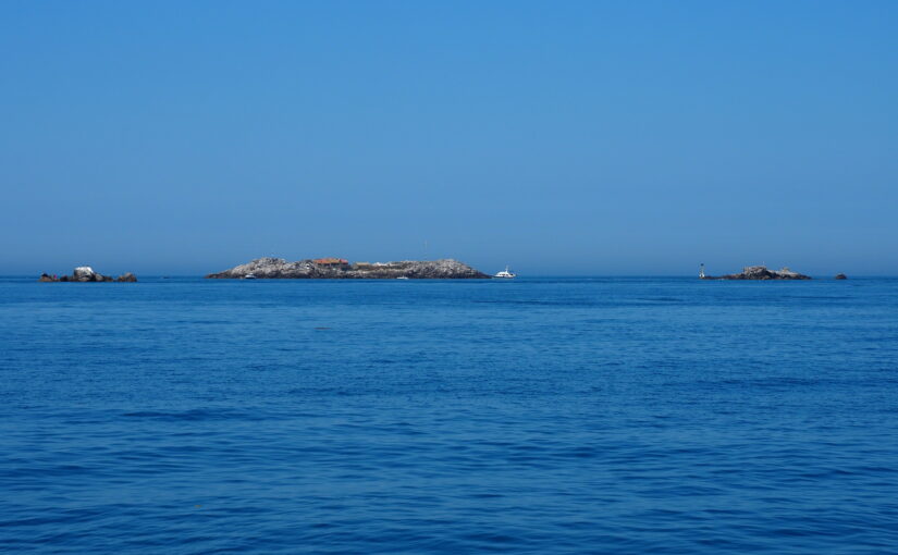
Open sea and offshore reefs cover 95% of Jersey’s territory, and are fundamental to the Island’s identity, economy and connectivity. The coast and sea are used for work, transport and leisure, forming an ever-changing backdrop to islanders’ lives. Below the surface is a hidden world of underwater habitats supporting a wealth of marine life, a rich archaeological legacy, and a network of vital submarine cables. The vitality of Jersey is intrinsically linked to the health of its seas, but this is under pressure from climate change and human activities.
The vision of the JMSP is for a thriving marine environment providing environmental, economic, cultural and social benefits. It presents a strategic framework for managing Jersey’s coasts and seas in a coordinated manner which enables them to thrive. This includes expansion of Marine Protected Areas towards 2030 ’30 by 30’ targets.
Preparation of the JMSP has involved close collaboration with a diverse range of local marine experts including fishers, recreational users, archaeologists, engineers, business owners, port authorities and conservation bodies, as well as extensive consultation with Jersey’s wider public. Through the JMSP, we have put into practice the principle that, despite people’s different priorities and points of view, ultimately everyone wants to see Jersey’s seas thriving and delivering benefits for people and for nature. The result is an innovative and engaging Plan which gives a voice to the wide-ranging concerns and aspirations of the local community, and addresses complex issues in a collaborative way.
The JMSP was led and written by Fiona Fyfe Associates, using data provided by Government of Jersey and with input from many locally-based specialists. Countryscape provided GIS and graphics expertise, and Karin Taylor advised on planning matters.
The document and poster map can be downloaded here:
https://www.gov.je/Environment/SeaCoast/pages/marinespatialplan.aspx#anchor-4

